Study calculates value of Virginia coastal wetlands at $90 million
Published in Science & Technology News
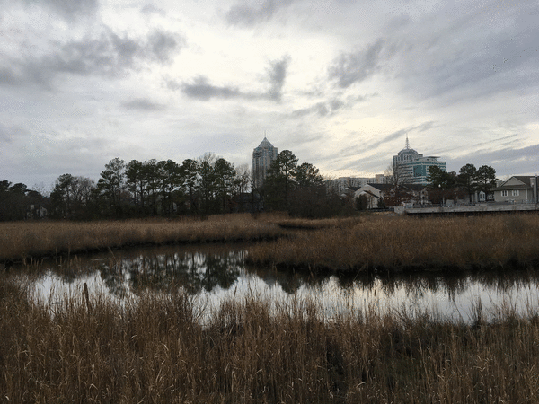
Wetlands in Hampton Roads are an important part of the ecosystem, and a new study attempts to quantify their worth to the community by calculating a monetary value.
The study, by the William & Mary Batten School and the Virginia Institute of Marine Science, found that the Middle Peninsula’s wetlands are worth about $90 million.
Researchers pointed to several factors that contribute to the estimate. First, wetlands provide protection from storm damage that would otherwise be costly. Wetlands do this by lessening the force of waves, reducing erosion and protecting coastal areas from sea-level rise. Coastal marshes contribute to carbon storage, and the National Oceanic and Atmospheric Administration estimates that 1 square mile of wetlands can store the carbon equivalent of 76,000 gallons of gas each year. They contribute to water purification by hosting species like oysters, which filter water. Researchers also named tourism, recreation and educational benefits as significant factors.
To calculate the $90 million figure, researchers looked beyond the market value of the land and combined ecological data, spatial modeling, economic valuation and stakeholder surveys to assess the current value of saltwater marshes and future value. In the surveys, respondents were asked questions such as how often they used the wetlands for recreation, whether or not they used a motorized vehicle and how far they typically traveled for their recreational trips. The team also used computer models to measure the impact of waves on wetlands to evaluate the protection they provide from storm damage.
For the surveys, researchers got decision makers like local leaders and coastline managers as well as recreational users like boaters and fisherman to weigh in.
“Policymakers tended to prioritize storm risk reduction and ecological benefits, while local residents and anglers also placed a high value on recreation and fisheries,” said Donna Bilkovic, a professor and assistant director of the Center for Coastal Resources Management.
For years, living shoreline projects in the region have brought various benefits, and they are often credited in reaching certain restoration goals for the Chesapeake Bay. Rather than hard barriers like bulkheads or riprap, living shorelines use natural systems to make waterfront property more resilient.
The study projects that, if the adoption of living shoreline strategies increases, there is the potential that more than 2,500 hectares of marsh could be enhanced or restored, delivering significant economic and ecological returns. That is equivalent to about 6,250 football fields.
In addition to the study, researchers also put together the Shoreline Benefit Estimation Tool, or SHORE-BET, an online mapping tool that can calculate value generated by certain parts of the studied area. Currently, the map focuses on northern, more rural areas of the region, such as coastline on the York River.
Bilkovic said the research provided a foundation for the tool, and she said she hopes it can give local planners and landowners a better understanding on how living shoreline projects can have both economic and environmental benefits.
“By combining data from field research and community input, SHORE-BET can help ensure shoreline decisions reflect both science and stakeholder priorities,” Bilkovic said. “(This could) potentially foster a shift toward a model focused on watershed-scale planning that maximizes shared benefits across communities.”
_________
©2025 The Virginian-Pilot. Visit at pilotonline.com. Distributed by Tribune Content Agency, LLC.


Comments